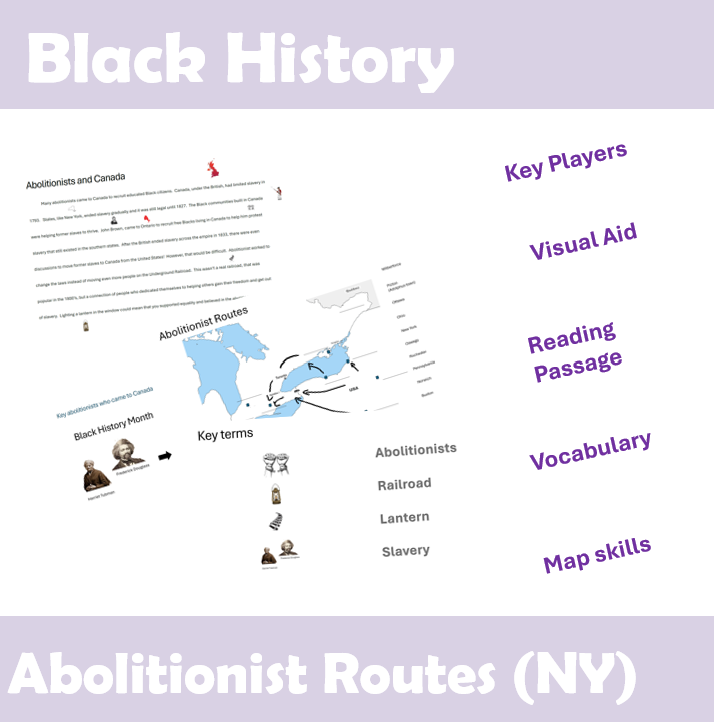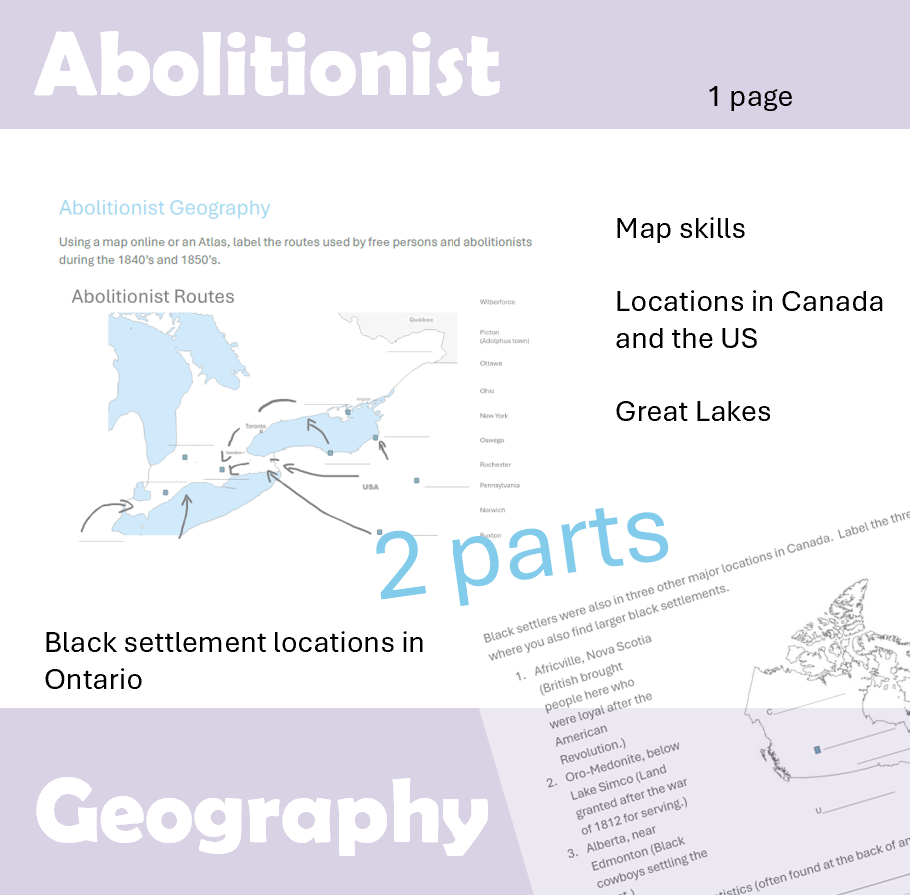
This worksheet shows the location of Black settlements in Ontario and the routes used to get to Canada. In addition, the three other large settlements have been indicated on the Canadian map for students to consider locations of colonization and how they relate to Black History. The importance of the navigable rivers, Erie Canal, and new rail lines both in the US and the one being build across Canada help to understand these settlement patterns.
The top has 10 blanks and the bottom 5 (with Canada and the US to be labeled to make an easy mark if checking the work.
I hope this practical connection makes a great lesson for you to incorporate societal issues in your curriculum.